Artworks


Central America
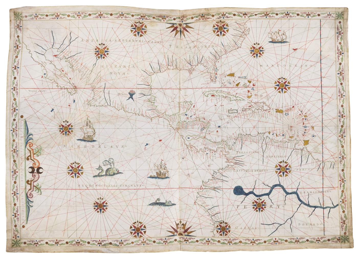
Illuminated manuscript portolan chart on vellum by Joan Oliva
C. 525 x 740 mm
Italy, c. 1585-1595
Hide caption
The chart is oriented with North to the top. It covers the western part of the North Atlantic Ocean, Caribbean Sea, Gulf of Mexico, eastern part of the Pacific Ocean, Sea of Cortes; Bermuda, Cuba, Hispaniola, Puerto Rico, other Caribbean islands; coasts of North America, Central America, Venezuela, Colombia, Peru. This chart exhibits the improving picture of the New World typical of the second half of the 16th century: Baja California on a NW/SE axis; Yucatan depicted as a peninsula rather than an island; no exaggerated westerly bulge on the west coast of South America; Cuba and the Caribbean islands are placed at correct latitudes vis-a-vis the Tropic of Cancer. The east/west dimension of North America is significantly exaggerated, but this is typical of most maps and charts of this period. The decoration consists of twelve compass roses and two half roses with the four directions in the northwest and southwest corner, all with a fleur-de-lys. The seas contain monsters, ships under sail, one of which with a barge on a line. The large rivers are painted in blue. A vignette shows Mexico City on its lake.


